



Land Calculator

Description of Land Calculator
Make geographic measurements with Land Calculator.
📏 Create field surveys.
📏 Measure distance with various map tools and survey tools.
📏 Convert area and distance measurements.
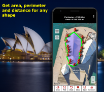
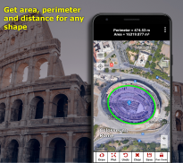
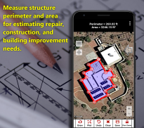
📏 Measure land area.
📏 Field perimeter calculator.
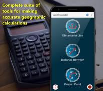
📏 Shortest distance to a line.
📏 KML file exporting and importing.
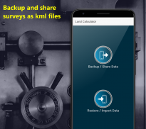
📏 Secure and restore your work by using the KML file feature. Share surveys to colleagues who may view your work in Google Earth on their desktop computer or phone or in Land Calculator.
and more...
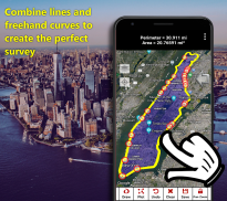
Draw a shape or plot points on a map and store trail length, perimeter and area along with a visual representation of your work.
Another method uses your phone's location awareness capabilities allowing you to record a survey while walking or driving.
All survey data can be stored in the application's database, backed up and saved as KML files.
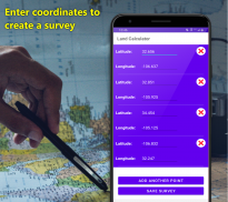
Need to find the shortest distance to a line between two locations? No problem! Enter coordinates, use your current location or drop pins on a map to set your line and your point.
A compass and GPS reporting are included.
Great tool for surveyors, engineers, real estate, builders and construction.
From DS Software</br></br></br></br></br></br></br></br></br></br></br></br></br></br></br></br></br></br></br></br></br></br></br></br></br></br>


